The Shire of Boyup Brook is a local government area located in the South West region of Western Australia, about 270 kilometres (168 mi) southeast of Perth, the state capital. The Shire covers an area of 2,829 square kilometres (1,092 sq mi) and its seat of government is the town of Boyup Brook.
History
The Upper Blackwood Road District was gazetted on 17 July 1896. On 1 July 1961, it became the Shire of Upper Blackwood under the Local Government Act 1960 and on 30 May 1969 changed its name to the Shire of Boyup Brook.
Indigenous people
The Shire of Boyup Brook is located on the traditional land of the Bibbulmun and/or Kaniyang people of the Noongar nation.
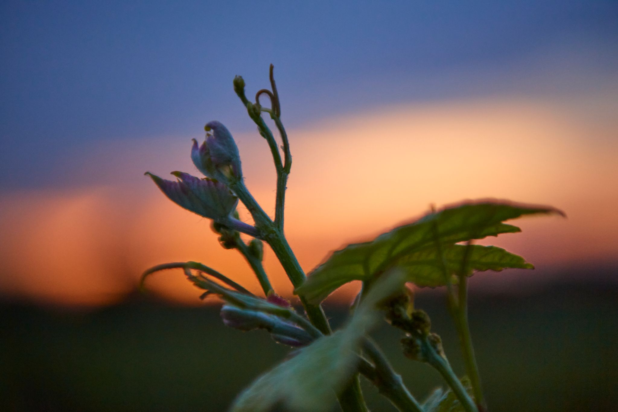
The shire's name is derived from the Aboriginal word Booyup, meaning "Place of Big Smoke", referring to the smoke from the burning of grasstrees, or "Place of Big Stones", in reference to the large granite rocks surrounding the Upper Blackwood area.
Wards
The shire has been divided into 4 wards.
- Boyup Brook Ward (3 councillors)
- Benjinup Ward (2 councillors)
- Dinninup Ward (2 councillors)
- Scotts Brook Ward (2 councillors)
2023 election results
Towns and localities
The towns and localities of the Shire of Boyup Brook with population and size figures based on the most recent Australian census:
Heritage-listed places
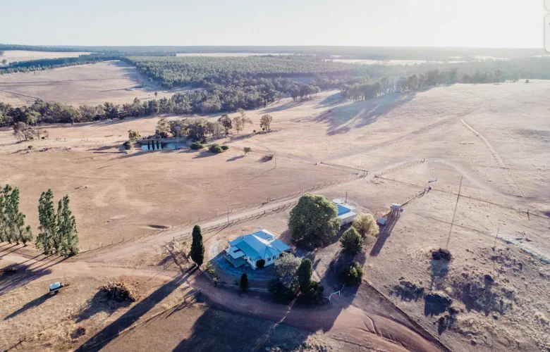
As of 2023, 45 places are heritage-listed in the Shire of Boyup Brook, of which one is on the State Register of Heritage Places, the Norlup Homestead. The homestead, dating back to 1872, was added to the register on 24 March 1998.
Notes
References
External links
- Official website